Skip to product information
1 of 7

GARMIN

Garmin dēzl OTR620 – 6" GPS Truck Navigator – 010-02923-00

Garmin dēzl OTR620 – 6" GPS Truck Navigator – 010-02923-00

SKU:010-02923-00

Regular price $349.99
Regular price Sale price $349.99
Sale

FREE SHIPPING on orders $100+

Large freight items excluded. View Shipping Policy

View full details

Garmin · Trucks

Garmin dēzl OTR620 – 6" GPS Truck Navigator

The Garmin dēzl™ OTR620 6" GPS Truck Navigator is built for professional drivers who want clearer guidance and fewer surprises from dispatch to dock. Its bright 6” high-resolution touchscreen is designed for quick readability while driving, and the interface supports spoken commands to help keep hands on the wheel.

With customizable truck routing based on a saved truck profile and road warnings along the way, this navigator helps plan routes that fit the rig and load. It also adds driver-informed value through dēzl community ratings for truck parking and destination access points, plus arrival planning with high-resolution aerial views of loading docks, truck entrances and security gates.

  • Part Number010-02923-00
  • Battery lifeUp to 1 hour
  • Weight6.2 oz (176 g)

Navigation

Custom routing for trucks

dēzl™ OTR620 lets drivers build a truck profile customizable by height, weight, length, width and hazardous materials. With that information, it can recommend truck-preferred routes and provide road warnings to support better decisions when running new lanes or managing changing load requirements.

Garmin dēzl OTR620 – 6" GPS Truck Navigator – Custom routing for trucks

Display

High-resolution arrival views

For tight final miles, the navigator supports expert arrival planning using satellite imagery with high-resolution aerial views. This helps drivers preview loading docks, truck entrances and security gates before pulling in, reducing guesswork when approaching unfamiliar facilities.

Garmin dēzl OTR620 – 6" GPS Truck Navigator – High-resolution arrival views

Connectivity

Connected convenience features

Built-in Wi-Fi® connectivity supports wireless map and software updates without using a computer. When paired with the Garmin dēzl™ app on a compatible iPhone® or Android™ smartphone, it can access live traffic, weather and real-time fuel prices, and display smart notifications. Hands-free calling requires a Bluetooth®-enabled smartphone.

Garmin dēzl OTR620 – 6" GPS Truck Navigator – Connected convenience features
Garmin dēzl OTR620 – 6" GPS Truck Navigator – Clear, glove-ready touchscreen

Clear, glove-ready touchscreen

The unit features a 6" multi-touch, glass, HD color TFT display with backlight and 1280 x 720 pixels resolution for crisp map detail. The screen size and bright presentation are designed to make key information easier to read at a glance. Physical dimensions are 6.0”W x 3.4”H x 0.7”D (15.2 x 8.6 x 1.9 cm) with a weight of 6.2 oz (176 g), and it uses a rechargeable lithium-ion battery rated for up to 1 hour.

Garmin dēzl OTR620 – 6" GPS Truck Navigator – Driver-powered dēzl community

Driver-powered dēzl community

dēzl community features help drivers find and share truck-focused location feedback. Along the route, drivers can view rated community truck parking and search for nearby community shared loading docks, security gates and truck entrances associated with a destination. The navigator also displays popular truck paths used by other truckers to improve situational awareness in unfamiliar areas.

Garmin dēzl OTR620 – 6" GPS Truck Navigator – Route awareness and truck tools

Route awareness and truck tools

To support day-to-day decision-making, dēzl™ OTR620 provides driver alerts for upcoming sharp curves, steep grades, speed changes, railroad crossings and more. It also adds a wind speed weather overlay on the map and can alert when high winds are detected on the route. For weight checks, the built-in search tool helps locate nearby CAT Scale locations in the U.S. and Canada before continuing down the road.

Garmin dēzl OTR620 – 6" GPS Truck Navigator – Maps, storage, and updates

Maps, storage, and updates

The navigator includes detailed street maps of North America with included map updates, covering the U.S., Mexico, Canada, Puerto Rico, U.S. Virgin Islands, Cayman Islands and Bahamas. It comes with 16 GB of internal storage and supports microSD™ card expansion (not included) for adding maps. See the specifications below for full map, memory and feature details.

Product Video

Specifications

Part Number 010-02923-00
Model dēzl™ OTR620
Configuration 6" GPS Truck Navigator
Dimension 6.0”W x 3.4”H x 0.7”D (15.2 x 8.6 x 1.9 cm)
Weight 6.2 oz (176 g)
Display Type 6" multi-touch, glass, HD color TFT with backlight
Display Size 5.7" W x 3.2" H (14.5 x 8.1 cm) 6" diagonal
Display resolution 1280 x 720 pixels
Battery Type Rechargeable lithium-ion
Battery life Up to 1 hour

In the Box

dēzl OTR620
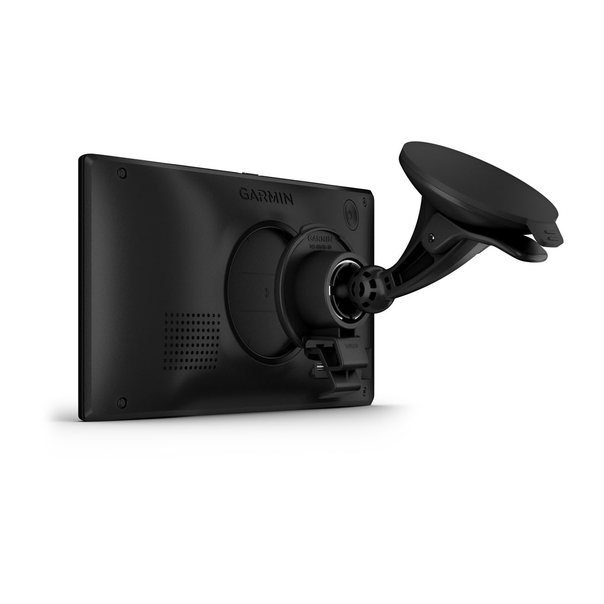
Vehicle suction cup mount
USB-C vehicle power cable with 12 Volt adapter
Documentation

Features at a Glance

Maps & Memory Preloaded street maps, 3D Terrain, Ability to add maps, Includes map updates, Downloadable Satellite Imagery, BirdsEye Direct satellite imagery
Sensors GPS, Galileo
Trucking Smartwatch Features Easy break planning, Truck plaza loyalty programs
Camera Features Backup camera compatible
Navigation Features Garmin Real Directions™ landmark guidance, Millions of Foursquare® points of interest, TripAdvisor® traveler ratings, Route shaping through preferred cities/streets, Voice-activated navigation (operate device with spoken commands), Includes traffic, Lane assist with junction view (displays junction signs), Bluetooth® pairing, Speed limit indicator (displays speed limit for most major roads in the U.S. and Europe), Driver alerts for sharp curves, school zones, red light and speed camera warnings and more
Advanced Features Smart notifications via app, Wi-Fi® map and software updates, Access to live services via app (traffic, weather, etc.)
Connectivity Requires Bluetooth®-enabled smartphone
Semi Truck Features Specialized truck routing, Rated community truck parking, Community truck destinations, Wind speed weather overlay, CAT scale locator, Expert arrival planning with BirdsEye Direct Satellite Imagery, Live shower and parking data, PrePass weigh station notifications and bypass decisions, Trucking points of interest, Truck-specific speed limits and 9 more

Additional Specifications

Maps & Memory
Data cards MicroSD™ card (not included)
Internal storage 16 GB
External memory storage MicroSD™ card (not included)
Connectivity
Smartphone platform compatibility IPhone®, Android™
Works with Garmin app on a compatible smartphone Yes (via the Garmin dēzl™ app)

Important Information

Requires use of the dēzl app on your compatible smartphone

Not available in all areas. Entering your truck’s profile characteristics does not guarantee your truck’s characteristics will be accounted for in all route suggestions. Always defer to all posted road signs and road conditions.

U.S. only. Requires active PrePass account and use of the dēzl app on your smartphone enabled with BLUETOOTH technology

Available in English, German, French, Spanish, Italian, Danish, Dutch and Swedish

© HERE. All rights reserved. Satellite imagery © 2026 Vantor (date of satellite imagery may vary). The PrePass logo is a trademark of the PrePass Safety Alliance. © 2026 Love’s Travel Stops & Country Stores, Inc. ©Pilot Travel Centers LLC 2026. © 2026 TripAdvisor LLC. All rights reserved. Wi-Fi is a registered trademark of the Wi-Fi Alliance.

⚠️ WARNING: This product can expose you to chemicals including lead and phthalates, which are known to the State of California to cause cancer and birth defects or other reproductive harm. Learn more.